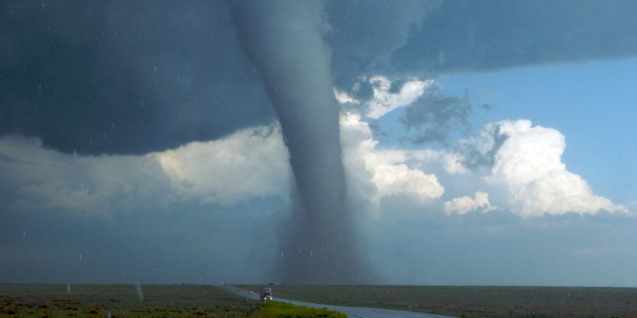
As May dawned, it became a habit to constantly check observations through meteorological websites. One of my regular activities is to follow the Indian Meteorological Department and private websites like windy.com . Being a student of geography, he has a little bit of comprehension, so he can interpret the observations he makes. Some friends can benefit from that meaning, that's part of their purpose! The main objective of the program is to cover the monsoon rains. Accordingly, reading satellite images and maps, reading reports, looking at warnings on the meteorological department's website is a regular occurrence. The windy.com website provides preliminary forecasts of temperature, wind load, wind, humidity, rainfall, clouds, sea waves, and other inventions for 15 consecutive days. Moreover, of every place, e.g. Ratnagiri understands the daily situation in detail. Although their accuracy is slightly low, it is enough to understand the original trend. Originally, in the study of geography, the study of shadow maps is done in a very clinical way, so they also make sense quickly. So it makes the study fun, and it also gives you the satisfaction of having friends who benefit from it. These days some friends are even staring at my program This year too, the program started in the same way. I was also excited as the weather department forecast a 'normal monsoon' this year. But the extreme heat in April was also signaling storms. Although the formation of hurricanes in the Arabian Sea and the Bay of Bengal before and after the monsoon is a common occurrence for me as a geographer, it is a natural disaster for other people, and it can be devastating. Of course, since it has a direct bearing on the local economy, it is also important to get proper cyclone warning. That's exactly what happened! A hurricane in the Arabian Sea during May 5 windsy.comThe screen covered, and I delivered the first primary message. The storm that was forming on Lakshadweep was seen moving north. However, I preferred to wait for the next 5-6 days. The forecast was constantly changing the direction of the storm during this time. They were seen crossing the Arabian Sea to Oman. Meanwhile, targets were also seen in Pakistan. I was keeping people alert. On May 8, the winds in the Indian Ocean changed. It was certain that a low pressure belt would take shape on Lakshadweep . The meteorological website is working very slowly in this regard. They signal a hurricane just two or three days in advance. So I relied a bit more on windy.com . As expected, the low pressure belt formed on May 12. Now the direction of the hurricane was fixed parallel to the Arabian coast. On the 12th, the meteorological department also confirmed the formation of the cyclone, but gave a hand signal about the intensity. I came to the 'let's see' procedure. Messaging to friends was on! On 14th May, on the day of miss.Akshayya Tritiya, the low pressure belt stabilized and turned into a deep depression . The meteorological department forecast a moderate storm in 24 hours, and a high probability of 48 hours. Accordingly, a hurricane formed in the early morning of May 15 and was renamed Taute or Taute ( Tauk'tai ) . The name given by Myanmar means 'sail or lizard', this is a funny thing! Now the point was, what will be the direction of this storm? The windy.com website was signaling a landslide, while the meteorological department was signaling a short distance from the coast. I was determined to see and interpret what would happen. Meanwhile, a message from my former senior colleague and geographer Dr. Surendra Thakurdesai Saran spread. In it, he expressed little doubt about windy.com 's predictions. He was addicted to last year's hurricane of nature . It also confused my mind. And at the same time, the moment came for me to grow in knowledge! I got some options on windy.com , and got the option to choose forecasting methods. But, I was looking for something that was 2-3 years, and 'vayubhararesahi' ( isobars receipt). My confidence skyrocketed. Although these lines are imaginary, they are essential for studying the map. They have a lot of impact. I'm happy! Thakurdesai's message mentioned two predictions - ECMWF and GFS! Among ECMWF , the European Centre for Medium-Range Weather Forecasts !! These meteorological forecasts are made under the Copernicus Earth observation program of the European Union. The cycle of these observations runs twice a day. This helps in understanding the trends of world climatic events. Many times they match the facts. GFS stands for Global Forecast System !! US National Centers for Environmental Prediction (NCEP)This methodology has been developed through. According to Google, their estimates and accuracy are the third highest in the world. The observation cycle runs four times a day. And so they also review the forecasts according to the situation, improving the situation. Coincidentally or not, the Indian Meteorological Department makes predictions based on US forecasts and images sent by the Indian satellite INSAT.