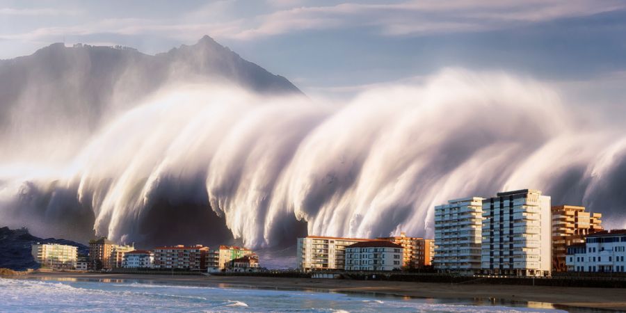

A tsunami is a sequence of ocean waves that can sometimes deliver surges of water onto land that are over 100 feet (30.5 metres) high. As they crash ashore, these water walls have the potential to do extensive damage.
Large undersea earthquakes at tectonic plate borders frequently produce these amazing waves. As the ocean floor at a plate boundary suddenly rises or falls, the water above it is displaced, which causes the rolling waves that will constitute a tsunami to be launched.
In the "Ring of Fire" of the Pacific Ocean, a geologically active region where tectonic movements frequently cause earthquakes and volcanoes, the majority of tsunamis, or roughly 80% of them, occur.
The U.S. Coast and Geodetic Survey and other scientists developed the tsunami warning system in 1947–1948. Since most tsunamis are caused by earthquakes near or beneath the water, scientists developed a technique that has been able to identify every Pacific-wide tsunami since 1948 by combining seismographs, oceanography, tidal gauges, observers, and communications. When an earthquake occurs, seismic waves travel through the earth and are measured. The Pacific Tsunami Warning Center (PTWC) at Ewa Beach, O'ahu, and other locations use these measurements to locate the earthquake.
The heave and dip of the sea floor causes a tsunami, which is a succession of waves that occur 10 to 20 minutes apart. As soon as an earthquake occurs, tsunami waves start to spread out at the speed of a jetliner, but questions are already being sent to tide stations nearby and analyses are being done. (Some sea level gauges are directly readable at the Warning Center and are telemetered to Honolulu.) The scientists at PTWC can verify the observation stations at the anticipated time of the first waves' arrival because it is simple to determine the speed of the tsunami waves by knowing the depth of the ocean passage they are crossing. The gauge reports and data are assessed taking into account.The civil authorities in that region will be informed if they anticipate waves above one metre (three feet) high to affect a populated coast; it is up to them to arrange the evacuation of "low-lying areas". They then advance the warning across the ocean to keep three or four hours ahead of the first wave because the waves move at a speed of roughly 500 miles per hour, while assessing the impact on the places already affected to determine whether the warning needs to be extended and expanded.
