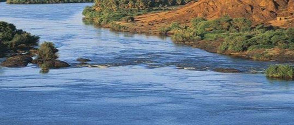

The longest river in the world and the "father of African rivers," the Nile is also known in Arabic as Bar Al-Nil or Nahr Al-Nil. The Mediterranean Sea is where it empties after rising south of the equator and flowing into northern Africa. It is approximately 4,132 miles (6,650 kilometres) long and drains an estimated 1,293,000 square kilometres of land. (3,349,000 square kilometres). Tanzania, Burundi, Rwanda, the Democratic Republic of the Congo, Kenya, Uganda, South Sudan, Ethiopia, Sudan, and the cultivated portion of Egypt are all included in its basin. The Kagera River in Burundi is its farthest point of origin. The White Nile (Arabic: Al-Bar Al-Abyad), the headstreams of which fall into Lakes Victoria and Albert, and the Blue Nile (Arabic: Al-Bar Al-Azraq; Amharic: Abay), which flows from the highlands of Ethiopia, are the three primary streams that make up the Nile.

The Semitic root naal, which means a valley or a river valley and hence, by extension of the meaning, a river, is where the Greek word Neilos (Latin: Nilus) derives from. The ancient Egyptians and Greeks had no idea why the Nile, in contrast to other large rivers they were aware of, flowed from the south northward and was in flood at the hottest period of the year. Due to the colour of the silt brought by the river during floods, the ancient Egyptians termed the river Ar or Aur (Coptic: Iaro) "Black." The oldest name for the region is Kem or Kemi, which both mean "black" and denote darkness and are derived from the Nile mud.Aigyptos is the name of the Nile (masculine) and the nation of Egypt (feminine), through which it runs in Homer's Odyssey, an epic poetry from the seventh century BCE. Al-Nil, Al-Bar, and Bar Al-Nil or Nahr Al-Nil are the current names for the Nile in Egypt and Sudan.
The ancient world's advanced civilizations developed and fell into disrepair in the Nile River basin, which makes up around one-tenth of the continent's surface area. People who were among the first to cultivate agricultural skills and plough use lived on the banks of the river. The Red Sea Hills and the Ethiopian Plateau border the basin on the east, the Red Sea Highlands and Lake Victoria, a source of the Nile, on the south, the East African Highlands, and on the west, a less well-defined watershed between the Nile, Chad, and Congo basins that extends northwest to include the Marrah Mountains of Sudan, the Al-Jilf al-Kabr Plateau of Egypt, and the Libyan Desert.
Due to the Nile's year-round availability of water and the region's high temperatures, intensive farming is viable along its banks. Even in certain areas where the average annual rainfall is enough for farming, there are frequently significant yearly changes in precipitation that make cultivation without irrigation dangerous.
Additionally, the Nile River is a crucial waterway for transportation, particularly during periods when motorised transportation is impractical, such as during the flood season. However, reliance on the waterway has been significantly decreased thanks to advancements in air, train, and highway infrastructure since the turn of the 20th century.
Most of the rivers were deep and had water throughout year but humans with their advancements destroying the nature's property . So we should come forward that in future we should save nature for our next generation

